
Raytown Neighbors Record Sources
Public records answer different block questions. The county map places parcels beside one another. Assessment panels describe each parcel. A recorder index can carry a transfer sequence and subdivision terms. Voter material is governed by its own statute and protected-address rules. Planning records can add a public project or meeting context. None of these sources is a complete list of Raytown neighbors or proof that a named person occupies a location.
| Source | What It Shows About a Block | Access |
|---|---|---|
| Jackson County GIS Parcel Viewer | Parcel boundaries, adjacent parcels, map layers, legal description, owner and value panel | Public viewer; click and compare parcels |
| County assessment or property panel | Assessment account, mailing and situs fields, value, districts | Public portal; current fields can change |
| Recorder plat and deed index | Subdivision, lot and block, legal description, transfer sequence | Online modern records and older microfilm |
| Missouri voter records | Specified statutory fields and qualifying election-history data | Exact lookup or Election Board request |
| Raytown planning records | Public applicant, address, zoning, project, or meeting context | City records and Sunshine request |
| Chamber and civic links | Public organization contacts, programs, and events | Organization pages, not a member roster |
Owner is not the same as occupant. A mailing field can differ from the situs address, which means the physical property location. Public parcel data creates a map of records, not a list of private lives. For a full named-street chain rather than the immediate block, use the Raytown street directory.
Start with one defined address and preserve its city line, ZIP, county, parcel number, street-name variants, and date observed. Raytown postal labels and municipal boundaries do not always match. A correct parcel can carry a different postal city line, so check the parcel, delivery format, and city context separately instead of treating one label as conclusive.
Map Raytown Neighbor Parcels
Use the Jackson County GIS Parcel Viewer one parcel at a time. A parcel is the county's mapped unit of land. Its legal description is the formal land-record description, distinct from a delivery-style address. The viewer documents map layers, measurement, and printing. It supports an address or parcel search, selection of the returned parcel, and adjacent-parcel clicks. A named radius or buffer result was not confirmed, so do not claim a fixed distance around an address.
Address or parcel number → selected parcel → adjacent parcel clicks → retained parcel numbers → property-panel comparison.
- Search the address or parcel number and select the specific returned parcel.
- Click each touching or nearby parcel needed for the defined comparison and retain its parcel number.
- Open the property panel for each selected parcel and compare legal description, owner fields, mailing field, situs address, and value.
- Use a recorded plat or deed only to test the land description or transfer sequence, not to infer who is present at the property.
The viewer's parcel-number guidance differs between county tools. Copy the returned number exactly and use the format accepted by that specific tool. That small habit makes a later comparison reproducible.
For an address search, the GIS instructions call for house number, directional prefix when present, street name, directional suffix when present, city, and ZIP, without the state or punctuation. They recommend standard street-type abbreviations and loading suggestions one digit at a time. If more than one parcel appears, select the mapped parcel or the specific returned address rather than guessing from a similar street name.
Compare Raytown Neighbor Parcel Records
After the GIS comparison, the Jackson County Public Property Portal can provide the assessment layer for each selected parcel. Compare the legal description, owner field, mailing field, situs address, value, and district rather than collapsing them into one claim. County property cards may contain errors or omissions and are not certified legal documents. A change in owner field can also reflect a trustee, entity, personal representative, or other recorded role.
For the land-history layer, the Recorder's public-records index can supply subdivision, lot or block, legal-description, and transfer clues. A plat is a recorded map that lays out a subdivision or lot arrangement. Online recorded-document coverage is strongest from about 1961 forward; older material can require the Recorder's microfilm route. Preserve the instrument date and party role before comparing it to a current assessment panel.
Raytown public planning packets can add a public project, applicant, address, zoning category, or meeting context. The city's Community Development route is appropriate for a defined planning or permit record. If the record is not posted, request the existing packet or record series through the City Clerk under the Sunshine Law. The city is not required to create a new block analysis from scattered records.
Note: A property panel describes the county's parcel record, while a deed index describes a recorded instrument and its parties.
Raytown Neighbor Voter Limits
Missouri's Check Your Voter Registration route is for an exact registration query, not a block-wide roster. Its visible fields are First Name as Registered, Last Name as Registered, Date of Birth, Last 4 of Social Security Number, and County. The route uses exact information, so a change in spelling or address can affect the result. Select Jackson County for Raytown's county election route and do not publish the four-digit identity check.
| Lookup field | Use for Raytown neighbors research |
|---|---|
| First Name and Last Name | Enter the registered spelling. |
| Date of Birth | Use the MM/DD/YYYY format. |
| Last 4 of Social Security Number | Use only as the lookup's identity check. |
| County | Select Jackson County. |
| Street-name instruction | Omit St, Ln, Rd, Blvd, and similar street types when entered. |
Section 115.157 lists specified public voter fields, and protected residential addresses remain subject to state controls. A current county full-file form, fee, delivery format, and field-level export were not verified. Contact the Jackson County Election Board at 816-325-4600 for a lawful, defined request rather than assuming a street or block list exists.
Section 115.163 generally makes registration records open for inspection at reasonable times, subject to those protections. Certain officers, witness-protection participants, and people with qualifying protective orders can have residential addresses closed. If a field is missing or an exact search fails, treat the result as inconclusive. Do not try to reconstruct a protected address from a map, mailing field, or organization record.
Raytown Neighbor Community Connections
Raytown has a public community network, not an official citywide neighborhood membership directory. Organization pages can point to public roles, meetings, programs, and contacts. They do not prove that someone is a Raytown neighbor or a current member. Search an organization with a person name, event, and year, then verify the result on the organization page or in an official city packet.
Raytown Chamber
The Chamber's public links connect civic institutions, the library, Main Street, parks, schools, the Fire District, USPS, and the Historical Society. They are a useful contact layer, not a resident register.
Raytown Rotary
Rotary publishes its leaders, public projects, and Tuesday noon meeting at the Raytown Schools Wellness Center, 10301 E 350 Highway, 64138.
First Suburbs Coalition
Raytown is a member community in this regional coalition, which describes quarterly meetings. It is a civic source, not a resident list.
Hickman Mills United Neighborhoods
This neighboring-area organization describes a boundary from 87th to 107th Streets and Raytown Road to Hillcrest. It is not citywide Raytown coverage.
See the Raytown Chamber community-links directory for its public community-resource layer.
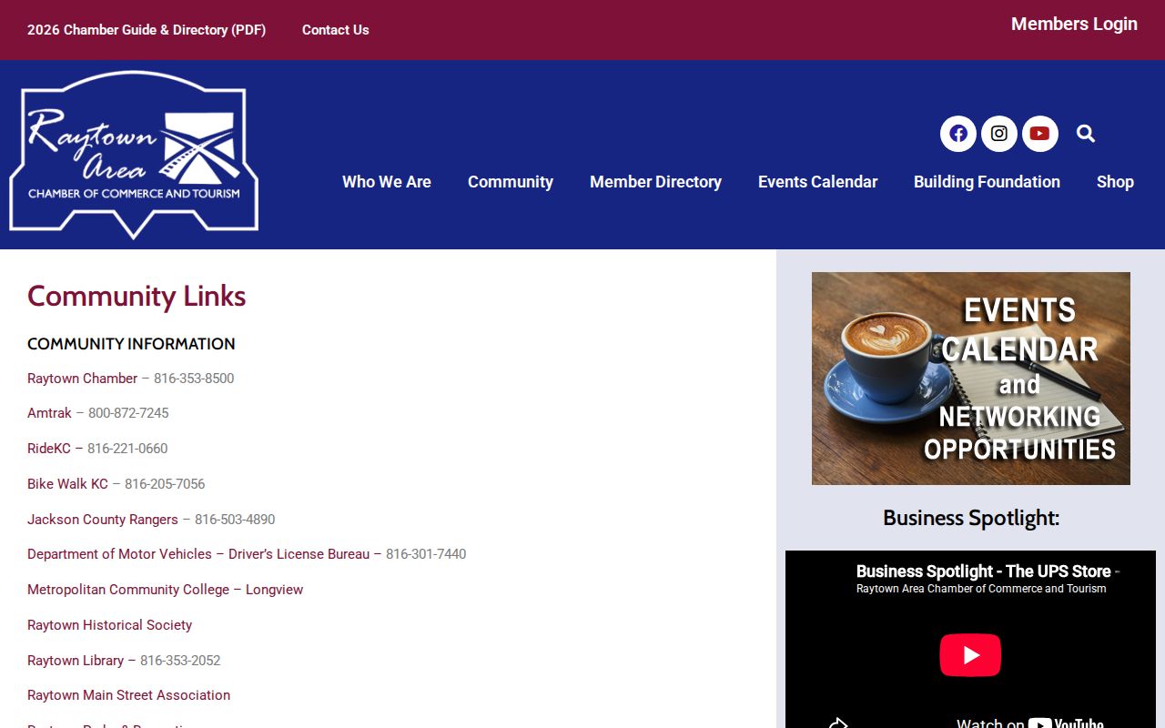
The Chamber image reflects public resource connections, not a directory of people living near any one parcel.
Raytown Rotary's official page provides a separate public meeting and project route.
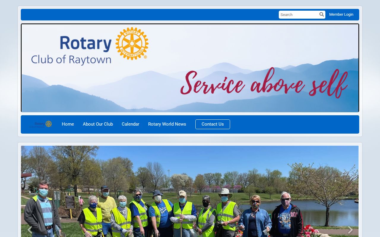
Its leadership and project details should be read as dated official-role information, not as a personal-address source.
The First Suburbs Coalition is a regional civic connection that identifies Raytown as a member community.
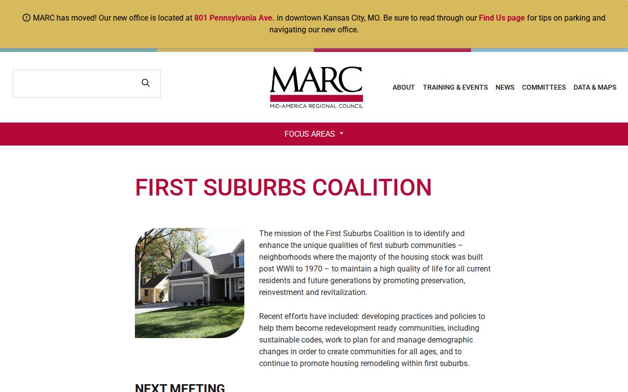
Use that regional source to understand public projects and meeting context, never to infer a block's membership or private contacts.
For older neighborhood context, the Midwest Genealogy Center and Raytown Historical Society can supply dated school items, maps, cemeteries, local events, and civic material. Collection access varies, and the sources reviewed did not identify a complete current Raytown association roster. A call-ahead request should name the organization, event, person, and year sought.
Note: A public meeting, official role, or project mention identifies dated context, not private membership or current residence.
Compare Raytown Neighbor Results
Official parcel, deed, voter, planning, and civic records state what they cover and who keeps them. Commercial neighbor-lookup products are a separate category that may combine public records, address history, and self-reported or licensed data. Their cost, timing, accuracy, and lawful-use terms vary. An assembled result should always be checked against the original record custodian.
| Official record | Commercial category |
|---|---|
| Identifies a defined record, date, custodian, and limitation. | Can combine records with different dates and update cycles. |
| Supports a return to the original map, index, office, or public meeting item. | Still needs confirmation from the original custodian. |
| Can show a protected, missing, or limited result. | Cannot turn an absence into a lawful reason to pursue the information. |
Raytown Neighbor Street-Name Quirk
Historic Raytown searches can fail because the same corridor appears under different names. Local history records the 1911 widening of 63rd Street into Blue Ridge Boulevard, followed by later use of 63rd Street again. Test both labels, then confirm the parcel or intersection through a plat or GIS map. The address wording in a historic source is a lead, not a reason to silently rewrite the location.
This small comparison is especially useful when a map, planning packet, school item, or land record appears to describe the same nearby area with a different road name.
Raytown Neighbor Privacy Boundaries
Public availability has limits. A parcel map cannot establish an occupant, private household member, utility customer, delivery detail, protected resident, or a person's routine. Protected voter addresses may be closed, and a missing address can be deliberate. The Missouri Safe at Home program provides a substitute address and mail-forwarding route for qualifying participants. Do not reverse-search a substitute address or treat a mismatch as a problem to solve.
For a public planning or meeting record, request a defined existing record from the city. The Missouri Sunshine Law generally calls for action by the end of the third business day, subject to exceptions and redaction. Keep the request to a project, address, meeting, ordinance, or record series. Do not seek a personal dossier. Stop when a custodian identifies a closed or protected record.
Lawful use. Raytown neighbors research can support civic context and personal curiosity. Never use a parcel or community record to stalk, harass, intimidate, or harm anyone.