
Raytown Previous Residents Sources
Finding an earlier household means separating a property record from a household record. Start with the latest document tied to the parcel, then move backward through the party names and legal description. Older household evidence may come from a directory, a census schedule, a school item, a newspaper, or an obituary. The source date is essential. A recorded party can be an owner, representative, trustee, or entity, and it does not by itself prove who was present at the address.
| Source | Years it covers | Where held | What it can show |
|---|---|---|---|
| Recorded real-estate index | Online inventory approximately 1961 forward | Jackson County Recorder Aumentum portal | Parties, instrument, recording date, legal description, subdivision and lot or block |
| Plats and older recorded material | Plats back to 1826; older material may be microfilm | Jackson County Recorder | Subdivision, roads, parcel relationships, and older document access |
| MGC historical collections | Collection-specific; Jackson County collection 1894-2001 | Midwest Genealogy Center | Directories, maps, yearbooks, newspapers, and local-history material |
| Historic census material | 1790-1930 held at MGC | Midwest Genealogy Center | Household evidence for the released schedule and its enumeration context |
| Missouri death archive | 1910-1975; separate pre-1910 abstracts | Missouri State Archives | Death index and images where available, plus a family-history follow-up |
Begin with the recorder when the question is ownership or a transfer sequence. Begin with MGC or the Historical Society when an older name, address wording, school, map, or family reference is already known. A Raytown-specific printed directory run and a Raytown criss-cross run were not verified, so use directories by address only after the collection supports that arrangement.
Start Raytown Previous Residents With a Deed
Jackson County's Public Property Portal is the current parcel starting point. Preserve the owner fields as displayed, the parcel number, and the legal description, while remembering that a property card is not a certified deed. Then use the Recorder's Aumentum public-records portal and choose Search Real Estate Index. A surname search can be narrowed by first name, date, instrument type, or legal description when the result list is broad.
Copy the evidence before moving on: exact party spelling, grantor or grantee role, instrument number, recording date, document type, legal description, subdivision, lot and block, book or page reference, and image link if available. Keeping the address separately prevents a later street-name change from being mistaken for a new parcel. This inventory links a deed trail to the correct place without calling a recorded event proof of occupancy.
Trace Raytown Past Owners Backward
The backward chain begins with today's parcel data and the latest recorded instrument. In the purchase document, the buyer is the grantee and the seller is the grantor. To continue, search the former seller as a grantee, because that is the role they held when acquiring the property. Repeat that role reversal, comparing the legal description each time. A name change, estate, trust, entity, release, or power of attorney deserves an underlying-image check before two instruments are joined.
- Pull the parcel number and legal description from the current assessment or GIS record, and save the address exactly as displayed.
- Find the latest purchase or transfer instrument in the Recorder index and record each party role, date, instrument number, and legal description.
- Use the prior grantor's name as the next grantee search, then identify that earlier acquisition instrument.
- Repeat the sequence only while the parcel description or subdivision, lot, and block support the connection.
- When the online trail reaches its coverage limit, request the Recorder's older microfilm or plat route instead of assuming the chain stops.
- Grantor and grantee
- The grantor transfers an interest in the instrument; the grantee receives it. Roles change from one transaction to the next.
- Chain of title
- The documented sequence of transfers affecting the same parcel, tested by the underlying instruments and legal description.
- Legal description
- The lot, block, subdivision, metes-and-bounds, or other parcel wording used to identify land. It is more stable than a street label in older research.
- Criss-cross directory
- An address-arranged directory format. Its availability and structure must be confirmed in the actual Raytown-area volume.
Raytown Records Across 1961
The Recorder reports county records from 1826 in electronic or microfilm form, but its online inventory for recorded documents reaches approximately 1961. Plats reach back to 1826. That gap between digital convenience and historical depth is important for earlier household research. A search that ends online may only be at the handoff point to microfilm, a plat, or an office visit.
The Recorder's copy-services information says digitized images can be viewed and printed free when available. A certified recorded document is listed at $2 for the first page, $1 for each additional page, plus $1 certification. The office is at the Historic Truman Courthouse, 112 W Lexington Suite 30, Independence, with 816-881-4483 listed for contact, Monday through Friday from 8 to 5 except holidays.
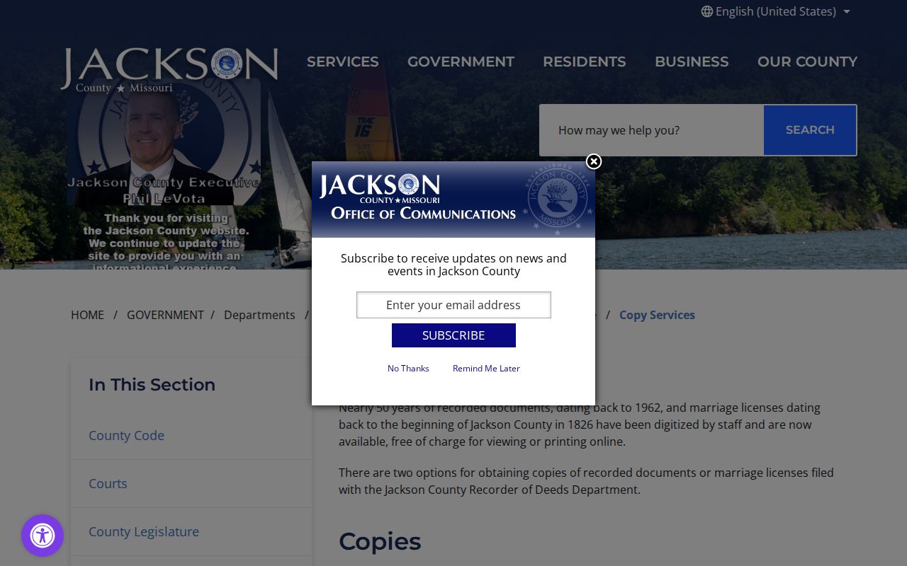
The copy choices make a useful comparison: an available image supports research and transcription, while a certified copy is the custodian's formal copy. Verify the current charge and access path before ordering, particularly when an older record is not digitized.
Raytown Previous Residents and 63rd Street
Historic road wording can hide a correct record. A digitized local history account describes 63rd Street being widened into Blue Ridge Boulevard in 1911, with 63rd Street later commonly used again. Search both names, then use the parcel, plat, legal description, intersection, or landowner to confirm that the record concerns the same place. Do not rewrite the historic street name in notes without preserving the original wording.
This local comparison is practical rather than decorative. An address that appears to vanish after a street change may still be the same physical location. The date of the document, the road name it uses, and the lot or subdivision description should travel together in the research log.
Raytown Address Logs Can Disappear
Raytown's retention material identifies a Street Address Log, also called a Street Information Card or Street Number Locator Book, as a master list retained until superseded or no longer needed. That makes it a potentially useful bridge for a historic number question, but not a record that can be assumed to survive. Request the series by name and ask whether it remains in city custody. Code files have a separate stated retention pattern of five years or five years after correction.
Independence's historic house-history guide offers a Jackson County research method, not a Raytown directory catalog. It recommends directories by address and name, plat books, historic maps, county histories, and local surveys, with hard-copy leads at MGC or Jackson County Historical Society. That method helps test an address change without claiming a Raytown source that was not verified.
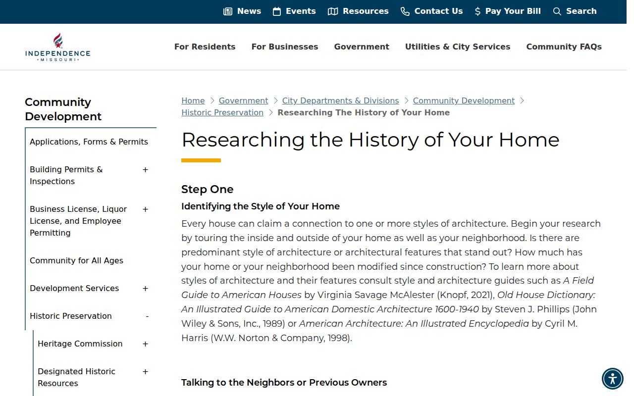
Use the guide's method to form a request, then identify Raytown and the exact address or record series in the request. Jackson County Historical Society requires an appointment and at least one week of advance notice, with no walk-in research. Its listed staff-research charge is $25 per hour; copy fees are separate and should be confirmed before ordering.
Pair Raytown Past Residents With Census
The deed chain establishes a sequence of recorded interests. It does not settle who lived at the address. For that household layer, pair a dated directory, census schedule, yearbook, newspaper, or obituary with the parcel trail. The historical collections themselves are described in the Raytown city directory research section, where the verified collection limits are kept separate from the property chain.
- Set the directory or other household source beside the nearest released census schedule available for the period.
- Compare names, initials, family relationships, street wording, and dates, and record disagreements instead of forcing a match.
- Test the address against a plat, map, or deed legal description when road names changed or a street number is uncertain.
- Use an obituary, cemetery reference, probate lead, or later instrument to explain a departure only when the record actually supports it.
Midwest Genealogy Center has newspapers, obituaries, maps, yearbooks, family histories, and staff assistance. Its research material notes Kansas City Star searching from 1880 forward, although exact Raytown newspaper runs vary and OCR can be incomplete. Missouri State Archives death certificates from 1910 through 1975, and the separate pre-1910 abstracts, can provide another dated family-history lead. Note: A directory or census entry is a time-stamped observation, not a claim about any living person now.
Lawful use. Research past residents for family history, house history, estate questions, or personal curiosity. Do not use a historic address trail to stalk, harass, or track a living person.
Close a Raytown Previous Residents Trail
When the record chain reaches a death, estate, or family transition, look for the custodian that owns that next record. The Missouri Archives county-record guidance describes probate material that can include a decedent, heirs, real estate, dates, receipts, and values. Its current Jackson County probate search portal and clerk copy-fee page were not verified, so treat the Archives, Recorder, MGC, and Historical Society as confirmed routes rather than promising an unverified online index.
Raytown Historical Society binders can add maps, cemetery leads, city volumes, families, schools, and early-business context. MGC's Jackson County collection is another dated source. Keep the collection name, box or binder, page, item date, and retrieval date alongside each deed citation. That record-by-record approach makes an old address trail clear without turning it into a list of people.
The Raytown Historical Society research center is listed at 9705 E 63rd Street, and the area-archives information recommends calling ahead at 816-353-5033. MGC provides the deeper regional collection, including microfilm, maps, newspapers, yearbooks, and staff assistance. Use the local branch for computer access, copying, scanning, and referral, then move to the regional collection or county office when the time period or record format calls for it. A clear request names the address variant, approximate date, parcel or legal description, and the record series sought.